Boundary survey
Locates the property lines and corners of a tract from the deed, records and evidence found on the ground, and shows them on a plat.
A quick guide to choosing a survey, common terms in plain English, and how a survey goes from field to finish.
Answer two quick questions for a starting point. A surveyor will confirm the right survey when you request a quote.
Having these on hand helps us prepare an accurate quote. Missing something? Call anyway; we can help find records.
John Cowan & Associates · (903) 581-2238 · awatson@jcowaninc.com
General definitions of common terms you will see on a survey or in a title commitment.
Locates the property lines and corners of a tract from the deed, records and evidence found on the ground, and shows them on a plat.
A survey performed to standards jointly set by the American Land Title Association and the National Society of Professional Surveyors, typically ordered for commercial real estate so a title insurer and lender can rely on it.
The list of optional items in the ALTA/NSPS standards (such as flood zone, utilities or building heights) that the client, lender or title company can request be added to the survey.
A scaled drawing of land showing boundaries, dimensions, easements and other features. A subdivision plat is usually recorded in county records after local approval.
A written description of a tract that follows its boundary from a starting point using bearings (directions) and distances.
A right for someone else, such as a utility or neighbor, to use part of a property for a specific purpose, like a power line or driveway.
An improvement, such as a fence, building or driveway, that crosses a property line or extends into an easement or setback.
A physical marker, often an iron rod, pipe or concrete marker, set or found at a property corner or control point.
Maps the shape of the ground with elevations and contours, along with features such as buildings, trees, drainage and utilities, for engineers and architects.
Marking locations and grades on the ground, from approved plans, so contractors can build roads, buildings and utilities in the right place.
A survey after construction showing where improvements were actually built, so they can be compared with the plans.
Dividing one tract into smaller lots or parcels, shown on a plat prepared to meet state law and local ordinances.
An area mapped by FEMA on Flood Insurance Rate Maps; surveys often note which zone a property falls in.
A point of known elevation used as a reference for measuring heights on a project.
The general steps behind a typical boundary survey. Every project differs.
Before going to the field, the surveyor gathers the deed, adjoining deeds, prior plats and other public records that describe the property and its neighbors.
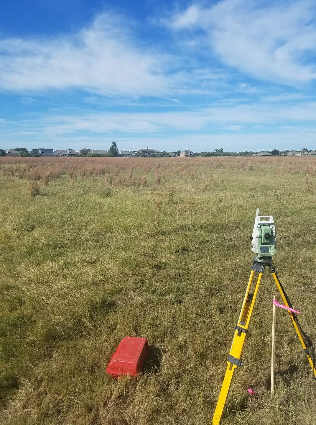
Crews search for existing monuments and evidence of the boundary, and measure them with total stations and GNSS receivers.
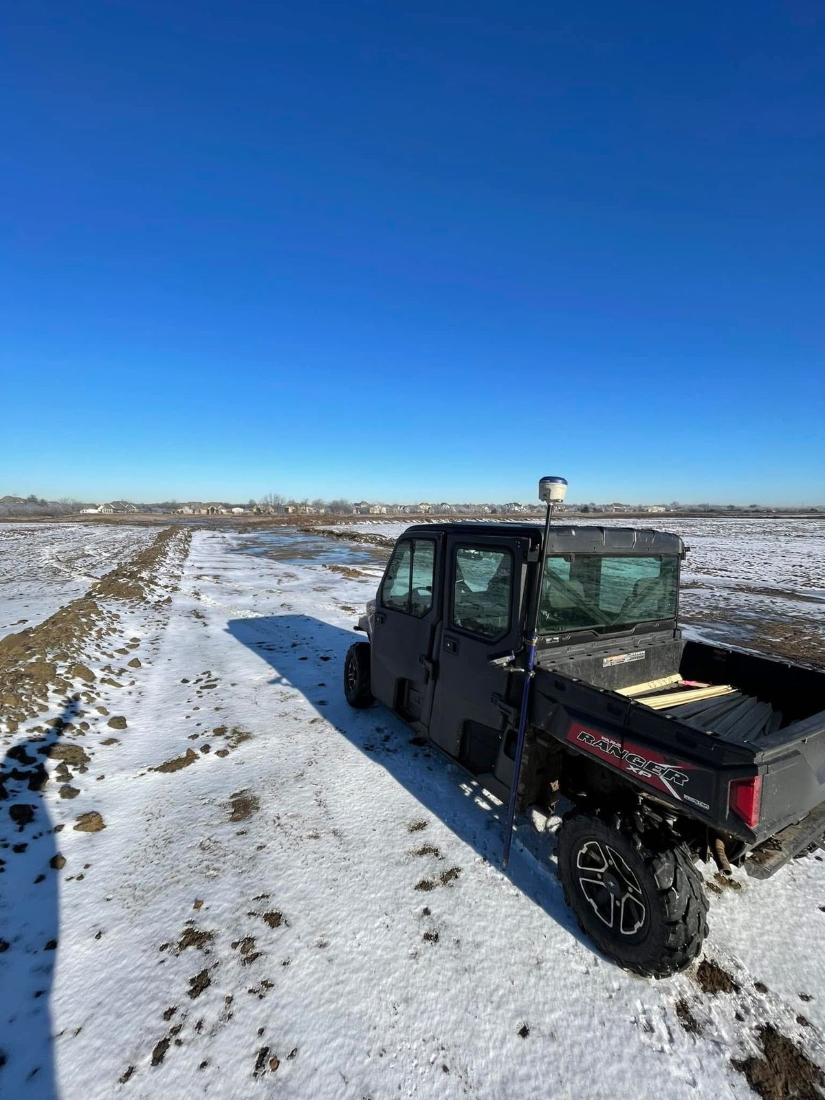
Where corners are missing, monuments may be set to mark them. Measurements tie everything together on the ground.
Back in the office, measurements are reduced, compared with the record descriptions and drafted into a plat in CAD.
A Registered Professional Land Surveyor reviews the work, then signs and seals the plat, and field notes where needed, for delivery to the client.
The gear our crews and office use. Product images are from Carlson Software and a Leica dealer (see credits); descriptions summarize the manufacturers’ published product information (CR+ series, BRx7, Viking, RT4, Carlson 2026 / IntelliCAD, Leica reflectors).
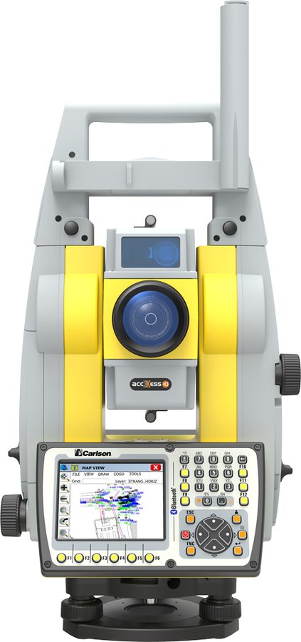
A 2-second robotic total station that measures angles and distances and can track a prism automatically, so one person can run the shot from the rod. It pairs with Carlson SurvCE or SurvPC field software.
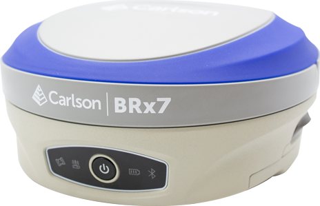
A multi-constellation GNSS receiver (GPS, GLONASS, BeiDou, Galileo and more) used as a rover or a base for real-time kinematic (RTK) positioning, with built-in tilt compensation.
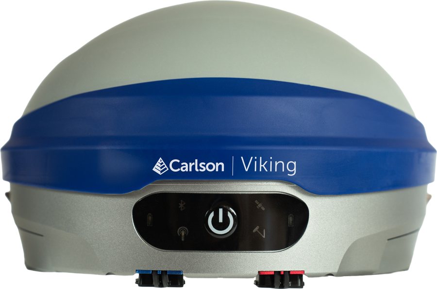
Carlson’s newer flagship GNSS base/rover, built in Maysville, Kentucky. It runs two GNSS modules and three RTK engines that cross-check each fix, and compensates for pole tilt without calibration.
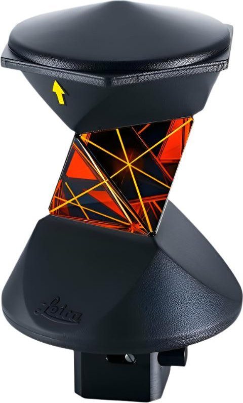
Prisms on the range pole that reflect the total station’s signal from any direction, so the instrument can keep locking on as the rod moves without anyone turning the prism toward it.
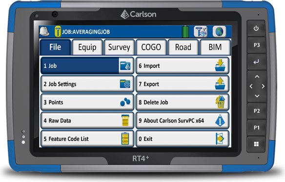
Rugged 7-inch Windows tablets that run Carlson SurvPC field software, connect to the total station and GNSS receivers over Bluetooth, and store each job’s measurements for the trip back to the office.
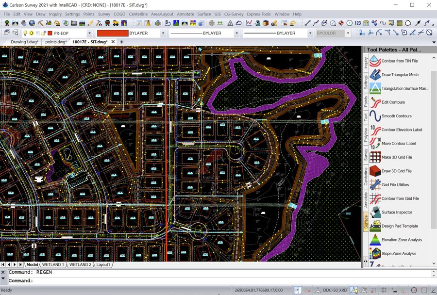
The CAD platform that comes with Carlson’s desktop survey software; Carlson 2026 ships with IntelliCAD 13.1. In the office we use it to turn field data into plats and survey drawings.
A few well-documented facts behind the descriptions in Texas deeds.
Spanish and Mexican surveys in Texas measured in varas. Texas treats one vara as about 33⅓ inches, so 1,900.8 varas make a mile. Old deeds still call distances in varas.
Grants were sized in square varas: a labor is 1,000,000 square varas (about 177.1 acres) and a league is 25,000,000 square varas (about 4,428.4 acres).
Texas honored land grants made by Spain and Mexico that it found valid. About 4,200 of those grant records are kept in the General Land Office’s Spanish Archives.
The First Congress of the Republic of Texas created the General Land Office on December 22, 1836, to survey and record the public lands.
Each original survey patented out of the public domain got an abstract number, unique within its county. Texas never had a single statewide survey grid, so these patent surveys are the state’s land survey system.
John Cowan founded our firm in Tyler in 1946. Surveys in Texas still trace back to these original grants, survey names and abstract numbers.
Sources: Handbook of Texas Online (TSHA), “Vara” and “General Land Office”; Railroad Commission of Texas, glossary: abstract number. League acreage is calculated from the vara figures.
Send the address or parcel number and a licensed surveyor will prepare a written quote.