Registered Professional Land Surveyors · Serving Texas & Louisiana since 1946(903) 581-2238 · Mon–Fri 8am–5pm
John Cowan & AssociatesLand Surveyors · Est. 1946
Services

Survey services

Every survey is researched, performed and sealed by Registered Professional Land Surveyors licensed in Texas and Louisiana.

Service

Boundary & Residential Surveys

Locate and monument your property corners, show improvements and encroachments, and provide field notes for closings, fences, and disputes.

  • Residential, rural and acreage tracts
  • Corner monuments set or recovered
  • Plat of survey and metes-and-bounds field notes
  • Accepted by title companies and lenders
Request a quote for this

Service

ALTA/NSPS Land Title Surveys

Surveys to the current ALTA/NSPS standards that give the title company and lender the location data needed to issue title and mortgage insurance.

  • Table A items scoped with your title commitment
  • Easements, encroachments and access reviewed
  • Experience on 60+ Dollar General sites statewide
  • Certified to buyer, lender and title insurer

Request a quote for this

Service

Topographic Surveys

A survey of natural and man-made features (buildings, fences, elevations, contours, trees, streams) used by engineers and architects to design a site.

  • Contours at the interval your engineer needs
  • Utilities, trees and drainage features located
  • CAD deliverables (DWG) and PDF
  • Required by many permitting agencies

Request a quote for this

Service

Construction Staking

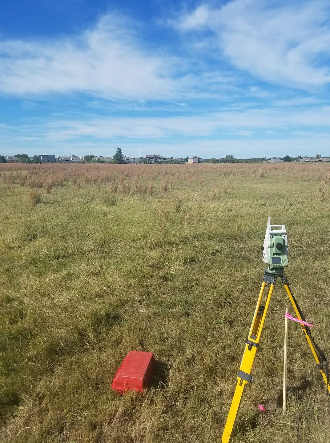
Layout of improvements shown on approved plans to control construction of roads, buildings, utilities and pipelines.

  • Building corners, offsets and grades
  • Roadway, curb and utility staking
  • As-built surveys at completion
  • Responsive field crews for contractors

Request a quote for this

Service

Elevation Certificates

FEMA Elevation Certificates for flood insurance rating, LOMA applications, and floodplain permitting.

  • Official FEMA form, signed and sealed
  • Lowest-floor and adjacent-grade shots
  • Supports LOMA / LOMR-F applications
  • Can lower flood insurance premiums

Request a quote for this

Service

Subdivision Platting & Development

Subdivide a tract into lots with monumentation and survey data on a plat that conforms to state law and local ordinances.

  • Preliminary and final plats
  • Coordination with city and county planning
  • Lot staking after approval
  • From 5-lot family splits to 135-lot communities

Request a quote for this

Also available

Specialty & energy surveys

Land Planning

Combined boundary and topographic surveys for site plans used to design improvements.

Oil & Gas Well Locations

Well locations, unit surveys, unit declarations and permitting plats.

Pipeline Route Surveys

Corridor surveys for oil and gas pipelines, flowlines and umbilical cables.

Environmental Surveys

Locating monitor wells and impacted-site features for groundwater monitoring.

Need a survey? Get a written quote.

Send the address or parcel number and a licensed surveyor will prepare a written quote.