Boundary & Residential Surveys
Locate and monument your property corners, show improvements and encroachments, and provide field notes for closings, fences, and disputes.
Learn more →
Boundary, ALTA/NSPS, topographic and construction surveys for landowners, builders, title companies and public agencies across Texas and Louisiana.
The same level of service and personal attention, no matter the size of the project.
Locate and monument your property corners, show improvements and encroachments, and provide field notes for closings, fences, and disputes.
Learn more →Surveys to the current ALTA/NSPS standards that give the title company and lender the location data needed to issue title and mortgage insurance.
Learn more →A survey of natural and man-made features (buildings, fences, elevations, contours, trees, streams) used by engineers and architects to design a site.
Learn more →Layout of improvements shown on approved plans to control construction of roads, buildings, utilities and pipelines.
Learn more →FEMA Elevation Certificates for flood insurance rating, LOMA applications, and floodplain permitting.
Learn more →Subdivide a tract into lots with monumentation and survey data on a plat that conforms to state law and local ordinances.
Learn more →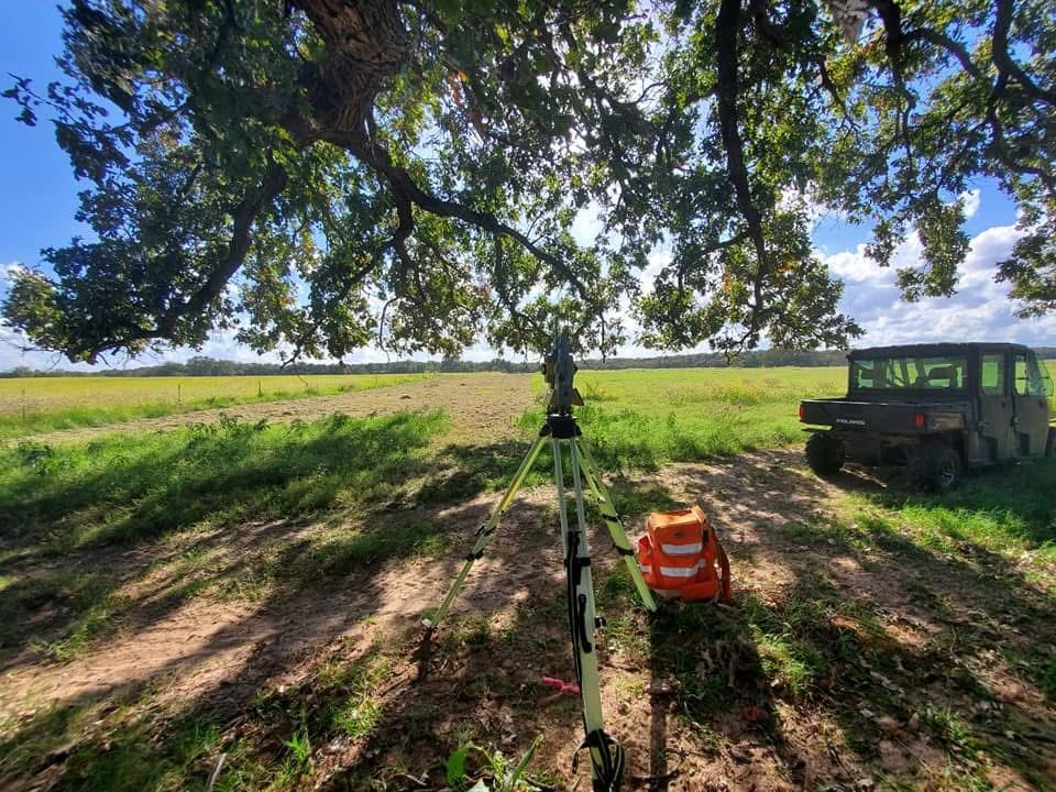
Founded by John Cowan in August 1946, we have surveyed everything from Hide-a-Way Lake to a 26.5-mile boundary at Fort Polk. Today our crews use robotic total stations and GNSS receivers, with CAD drafting in-house.
Send the address, parcel number and any deed or prior plat. Takes two minutes online.
A licensed surveyor reviews records and sends a firm price and schedule.
Our crew researches the chain of title, then locates and sets monuments on site.
You receive the sealed plat and field notes as PDF, with CAD files on request.
Headquartered near Tyler since 1946, our crews work statewide, from the Piney Woods to El Paso, the Panhandle to the Rio Grande, and on into Louisiana.
Not listed? We regularly travel across Texas and Louisiana; just ask.
Our office at 10147 CR 135, Flint, just south of Tyler. Headquarters since 1946. Serving Smith, Cherokee, Henderson, Rusk, Van Zandt and Wood counties and beyond.
Our office at 10147 CR 135, Flint, just south of Tyler. Headquarters since 1946. Serving Smith, Cherokee, Henderson, Rusk, Van Zandt and Wood counties and beyond.
Smith County seat, a few miles north of our Flint office.
Dallas, Plano, Frisco, McKinney and Denton. ALTA/NSPS, commercial layout and residential surveys; Shops at Starwood and UNT projects.
Gregg and Harrison counties: boundary, oil & gas and pipeline route surveys.
Central Texas development, ALTA and boundary work along the I-35 corridor.
Multiple Austin and San Antonio ALTA/NSPS sites for national retail clients.
Gulf Coast commercial ALTA, topographic surveys and FEMA elevation certificates.
Coastal ALTA and boundary surveys on request.
Northwest Louisiana: boundary, energy and pipeline surveys. Louisiana licensed since 1991.
Central Louisiana, including the 26.5-mile Fort Polk boundary for the U.S. Army Corps of Engineers.
Far West Texas, at the state’s westernmost tip.
Big Bend country in Brewster County.
The Texas Panhandle.
The South Plains of West Texas.
The Rio Grande border region in Maverick County.
Southwest Louisiana commercial and elevation-certificate work.
Send the address or parcel number and a licensed surveyor will prepare a written quote.